(WKBN) – We are in a very active weather pattern as we push through early February here in Youngstown, Ohio.
We are on the heels of a storm system that swept a wintry mix of rain, freezing rain, sleet and even thunder across the area as it moved through Wednesday night into early Thursday morning. The next storm system is already on track to move our way by late Saturday.
You can always track the precipitation with Youngstown Weather Radar.
Timing out the next winter storm system
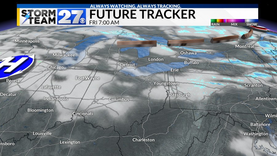
A cold Friday is expected with a small risk for a few flurries early as a blast of colder air sweeps in to end the work week.

Another area of low pressure will swing out of the southern plains and push up the Ohio River valley through the start of the weekend. This system will bring a wintry mix of precipitation to the region by late Saturday and into Saturday night.

The center of the system will track close to our part of eastern Ohio and Western Pennsylvania which will help create a ribbon of snow/sleet/freezing rain/rain.
The best chance for this mixed precipitation will be late Saturday afternoon and through Saturday evening.

If the storm track shifts a little to the north, or south, it will influence the precipitation type as the northern fringe will be snow and the southern fringe will be rain. The mixed precipitation will be in the middle.
Right now, that mixed region looks to be right over our part of Eastern Ohio and Western Pennsylvania. Again, we are watching the track close as this system develops and approaches this weekend.
As colder air flows in behind the system throughout the entire atmosphere the precipitation type will turn to all snow showers through Saturday night and into Sunday.

Colder temperatures are expected to stick around next week. You can see the weather forecast here. There will be a few more waves next week that will throw some snow our direction. We will have to keep an eye on the track of those storms too. A little wobble north would mean heavier snow for our region.
#wintry #mix #Timing #storm


Leave a Reply