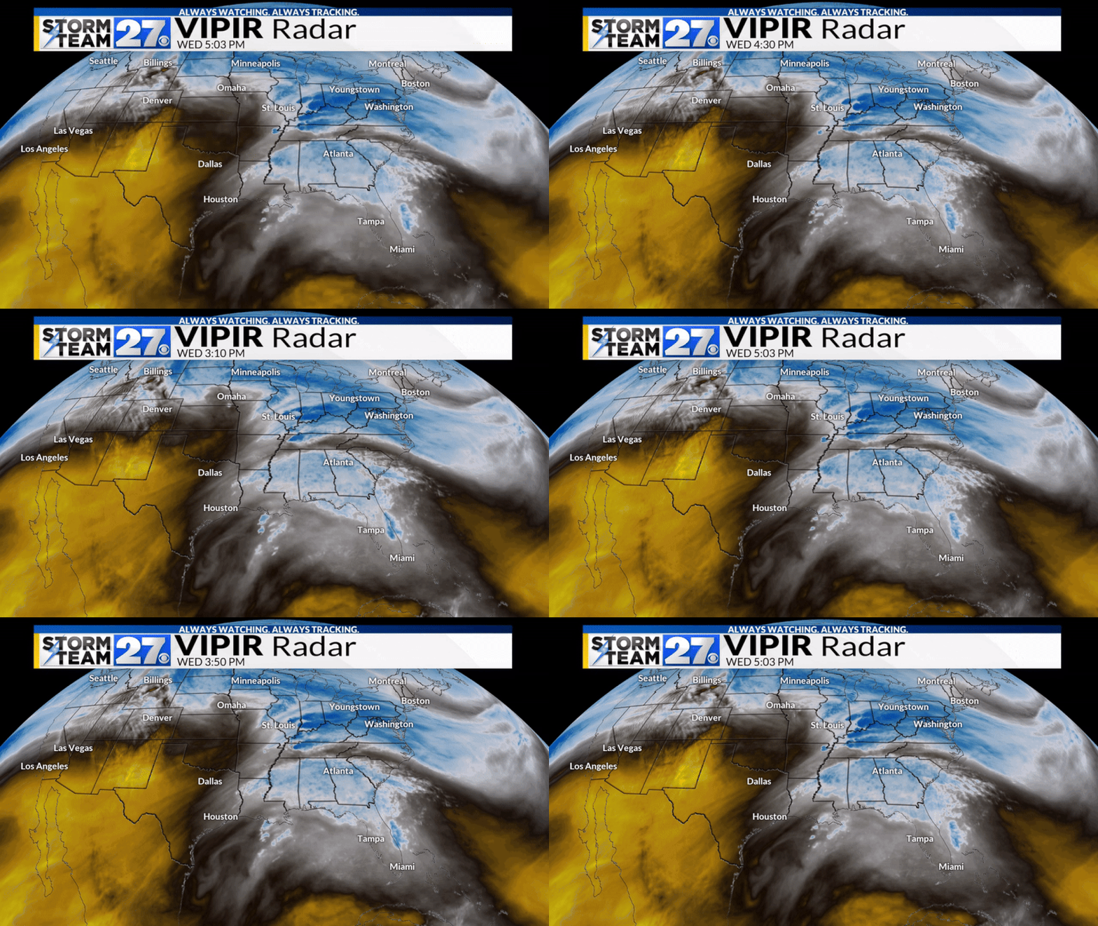
YOUNGSTOWN, Ohio (WKBN) — Temperatures on Wednesday across the region have stayed around the 30-degree mark. As our next storm system moves into the area overnight, this temperature will be critical to the type of precipitation we see through the morning hours tomorrow.
Winter weather advisories are up for the entire area. You can check what time they are in effect for your county here. Storm Team 27 breaks down this storm system and what you need to know as you prepare for your Thursday.

Breaking down the impacts
Expect cloudy skies this evening with temperatures in the upper 20s near 30. As the night goes on and moisture continues to fill into the region, precipitation will begin. With the temperature below freezing, precipitation will begin as a mix of sleet, snow, and freezing rain.
Expect this to begin from southwest to northeast in the area after 10 p.m. Check Storm Team 27 VIPIR Radar to see the progress of the precipitation as the system moves into the area.

The heaviest freezing rain and mix potential will be during the overnight hours from 12 a.m. through 3-5 a.m. Towards the end of this period, temperatures will climb to near and eventually above freezing. This will slowly end the freezing rain threat around your morning commute.

Total ice accumulations will be from 0.1″ to 0.2″ with localized amounts up to 0.25″. This will cause untreated surfaces to become slick and coated with ice.

Road Impact Timeline
Road conditions this evening will stay dry as precipitation stays to our southwest. After 10 p.m., conditions will become a bit more slick from southwest to northeast as the precipitation moves in. The most difficult travel will be overnight. While treated surfaces will stay mostly slushy, untreated surfaces and some tree branches will become icy.
Conditions will improve slowly through the morning hours tomorrow. While the majority of the freezing rain and mix will fall before the morning commute, some surfaces and your cars could still have a coating of ice on them. Take this into consideration as you plan tomorrow morning.

Storm Team 27 will continue to monitor this storm system as it moves into the area this evening. Another storm system will bring the risk for mixed precipitation to the area later in the 7-day forecast. You can track the active pattern here as you plan ahead. You can also download the WKBN Weather app on the Apple App Store or Google Play.
#icy #mix #impact #Thursday #morning #travel


Leave a Reply